We spend so much time making plans for our adventures that we don’t always take the time to consider the what-ifs. I’m not talking about emergencies, car breakdowns, etc.. I’m referring to totally unexpected events, such as road closures, changes in weather, sick children, or even sick adults.
My buddy and I recently planned a backpacking trip in the Sierra. We planned to drive up early Thursday from the greater Los Angeles area, start the trek by 10 or 11 AM, and spend a couple of nights in the backcountry before heading back down to base camp on the last evening, then driving home the next day. Everything was going according to plan until suddenly one of the kids began to feel sick and eventually ended up vomiting.
The mistake
Here’s the truth – when I mapped out the backpacking route, I accidentally marked the start location at the wrong starting point. This mistake is likely why we ended up with a sick child, and here’s why. We ended up walking down about half a mile from where we parked, instead of walking up towards the trailhead, resulting in an extra mile penalty. Fortunately and unfortunately, we came across good people, who seem to be in abundance when you are in nature. The nice couple gave us a ride up the mountain back to the trailhead. In theory, this was helpful and saved us time. The problem was, we were traveling backwards, riding in the back of a pickup truck with 10k feet of elevation. This was the catalyst that triggered the sickness.
The plan
The plan was to backpack Cottonwood Lakes in the Sierra National Forest. The trailhead begins at 10,000 feet of elevation, and depending on how far you go, you can traverse to Mt. Whitney, which is over 13k feet in elevation. The ultimate cause of one of the boys getting sick was altitude sickness. We were hoping to mitigate this by acclimating at 5k with a quick meal. Unfortunately, luck was not in our favor. Given that we had just spent 5 hours in the car, we weighed our options, one of them being to go back home.
The backup plan
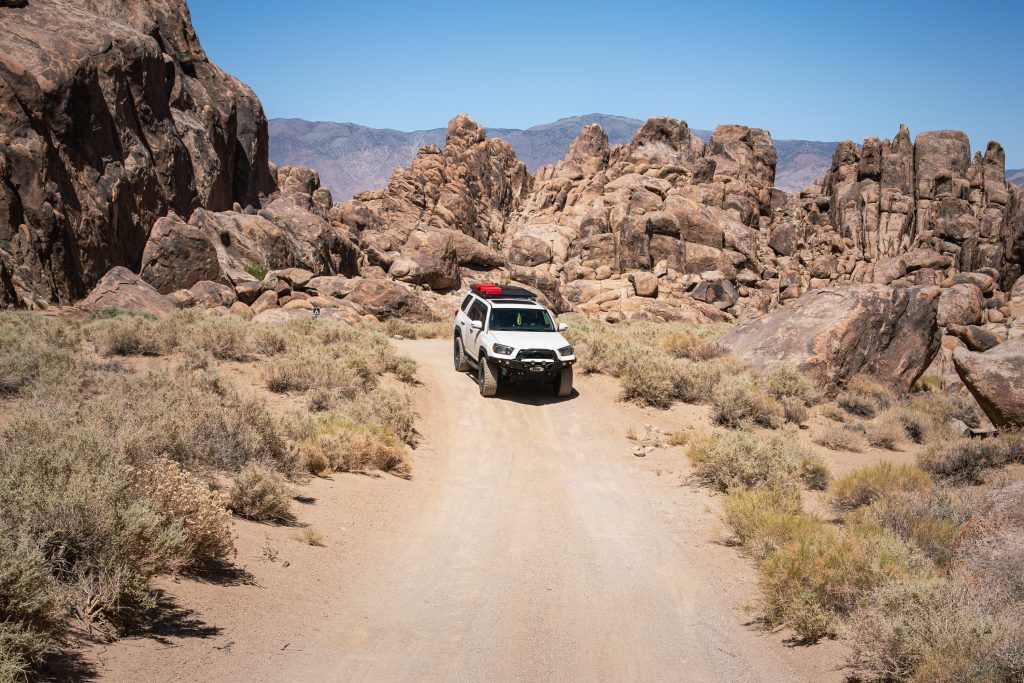
Fortunately, I download area maps on my phone, whether it’s Google Maps, Gaia, or both. With no reception at the top of the mountain, we opened up the map and reviewed what’s around the area. Cottonwood Lakes happened to be close to Alabama Hills. We gathered our things and headed down the mountain.
Alabama Hills is majestic, and the yellow post sites are dispersed at a good distance. However, with temperatures being over 100 degrees, the only option was to find yet another location. We jumped on Google and Gaia, and looked for a backup to the backup.
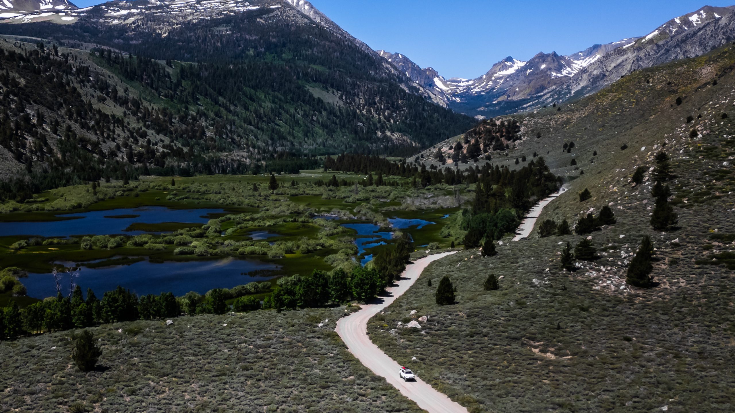
Plan C
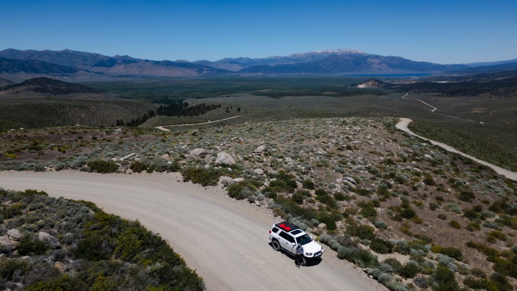
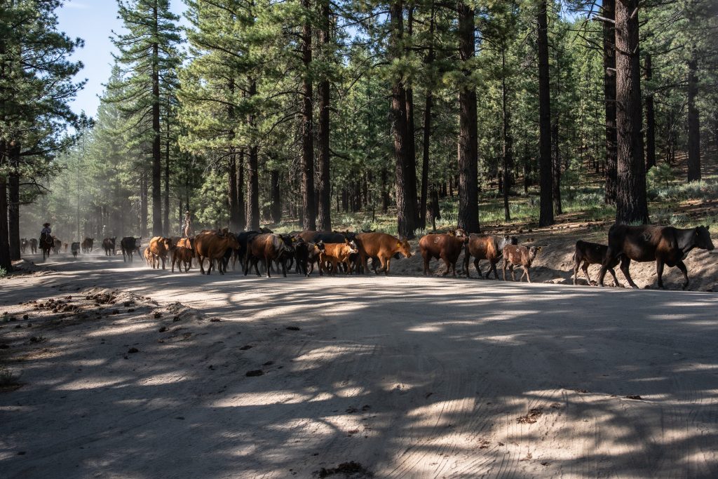
Bridgeport happened to be two hours from Alabama Hills. We loaded up on snacks, and of course, ice cream, and pushed north. Fortunately, the 395 has so much to offer, with many locations to stop, explore, and camp. This decision turned out to be one of the best trips we have embarked on. With secluded forest, open mountain roads, majestic hot springs, and lots of cows.
The best outcomes are when we create opportunities from setbacks. Things happen, and it is our choice how to react to a challenge. It helps to be prepared with the tools to create new plans. Having extra food/water, gas reserves, and offline maps will take you a long way on your journey, or backup journey.
Locations mentioned in this blog:
- Cottonwood Lakes – Cottonwood Lakes Trail – All Trails
- Alabama Hills – Alabama Hills Lone Pine California – Trip Advisor
- Bridgeport – https://share.google/3H3gV5ALgBoHDA69W

Leave a Reply
You must be logged in to post a comment.